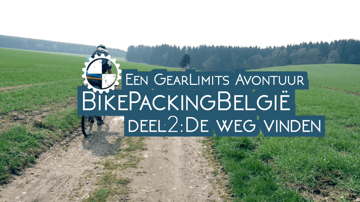
Knowing the way, or at least finding the way, is essential to enjoying a bikepacking adventure. Ceryainly when you have a long way to go, or the weather takes a turn for the worst, you want to know where you are and where you should be heading. For our three day Bikepacking Adventure we had taken a lot of time to really prepare our route. Something we can really recommend to anybody.
GoEast Belgium
If you are going to the Ardennes in Belgium, you can find routes for various activities (including MTB) on the GoEastBelgium.com site that together form a large network over the Ardennes. You can build a route at home fairly easily and in just a few steps. In this way, you can plan, not only the number of kilometers of the route, but also the altitude profile and vertical meters you want to do. With the GoEastBelgium smartphone app (for Android and iPhone) you can also follow that self-made route when you are on your bike. What also helps are the physical route / junction signs that you encounter along the way. Then you know for sure where you are.RAVeL-network
In addition to the above-mentioned network, you also have another interesting bundling of routes, namely the so-called RAVeL network. The abbreviation stands for Réseau Autonome de Voies Lentes, so an “autonomous network of slow roads” that has been laid over old hunting trails, railways and smuggling routes. More than 1300 km have been laid out that can be used for cycling, walking, horse riding, skating and also suitable for people with reduced mobility. Well on the beaten track, and not “off the road” which we love the most, but through beautiful parts of Wallonia nonetheless.So ample opportunity to prepare for whatever road or trail you want to take, and a great way to enjoy that pre-adventure fun!
Below you will find the short travel documentary that we made from our adventure.


